

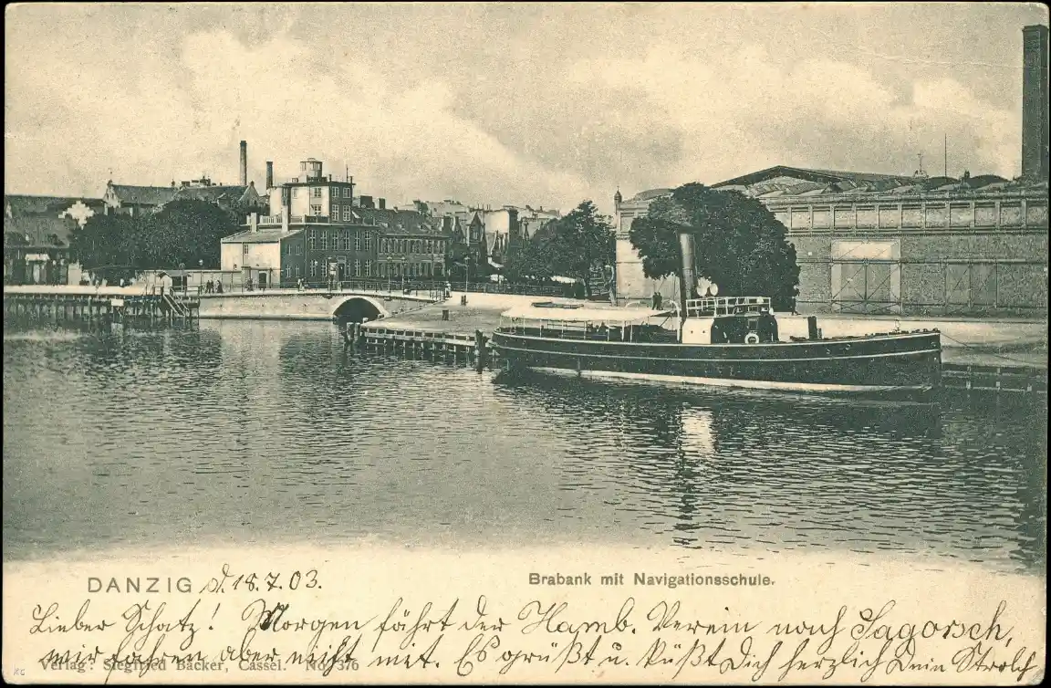

In old views of the point where the Radunia Canal meets the Motława, one can make out a building with a small turret. It housed the observatory of the Royal School of Navigation. It was here that aspiring seafarers learnt to determine a ship’s position and steer it safely into port.
The school began operating in a former church
The institution was established in 1817 under the name Königliche Navigationsschule. Its first premises were the disused St James’s Church in Łagiewniki, together with the adjoining houses. It shared the building with the Municipal Library, and the interior was adapted to its new purpose.
It was not until 1826 that the school moved to Karpia Street, near what is now the Wapienniczy Bridge. An older tenement house was adapted for its use, and a section housing an observatory was added. The school had a boarding house, which enabled boys from outside Gdańsk to study there as well.
Maps, chronometers and a gaze at the sky
The curriculum included navigation, mathematics, geography, drawing, foreign languages and ship handling. The two-year programme prepared students for the exams to become a helmsman or a master mariner. The school trained maritime personnel; therefore, it should not be equated with a university in the modern sense.
The building on Karpia Street housed lecture theatres and an examination hall, a library, a map room and a chronometer room. The observatory allowed astronomy lessons to be combined with practical measurements. Students were expected to understand both how to read a map and how to obtain the information needed to determine a position.
Mathematics was not a subject detached from real life here. An error in calculation could mean taking the wrong course, whilst a lack of knowledge of instruments made it difficult to assess the vessel’s position. The school’s curriculum therefore combined numeracy with observation and responsibility for the ship.
From the classroom to the deck
Classes were supplemented by training voyages. Among the vessels associated with the school were the ‘Stralsund’ and the corvette ‘Amazone’. In the Baltic Sea, students carried out measurements and observations, whilst later expeditions also took them to the Mediterranean and across the Atlantic to New York.
Practical training allowed students to test their knowledge in the context of the ship’s movement, changing weather conditions and the crew’s work. The Nadmotławska campus was well suited to this method of teaching: from the windows, one could observe port activity, and the school’s vessels were moored nearby.
Subsequent locations and the lost building
Following a hiatus that began in 1919, the institution resumed its activities in 1923 in Wrzeszcz, on what is now Aleja Legionów. In 1939, it changed its address once more, moving to Brabank. It remained in operation until 1945.
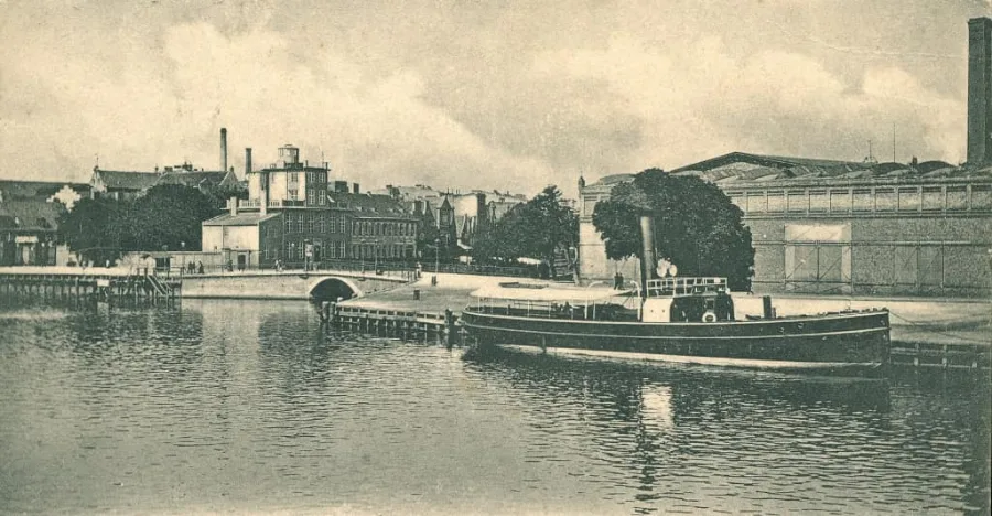
The former premises on Karpia Street were destroyed during the Second World War. Historical photographs help to reconstruct its location and appearance. The observatory’s small turret is a detail that makes it possible to recognise the school in old panoramas.
The neighbourhood also has a much older history. Nearby stood a medieval Teutonic Castle, the demolition of which transformed this part of the riverside town long before the school was established.